Guarding Our Shores, One Root at a Time.
We connect science, policy, and community to protect and restore mangrove ecosystems across the archipelago.
Our Mission
To protect and restore coastal ecosystems through community engagement, participatory technology, and data-driven research.
About the Initiative
Mangrove Coast Guard is a digital initiative that creates tools and platforms to protect, restore, and educate the public on mangrove ecosystems—through spatial data technology and community involvement.
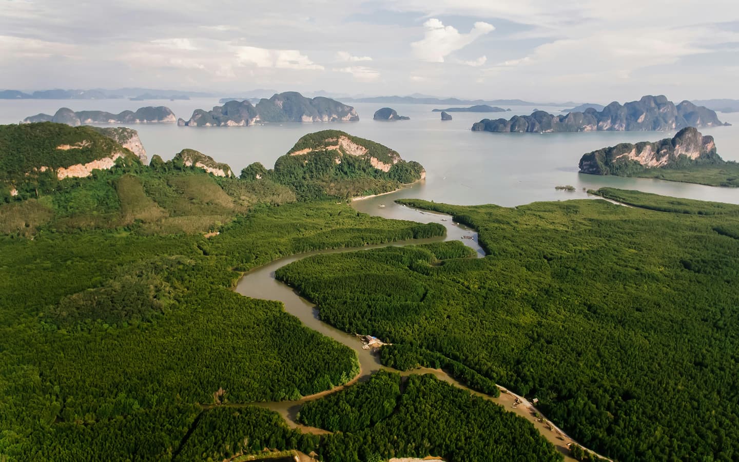
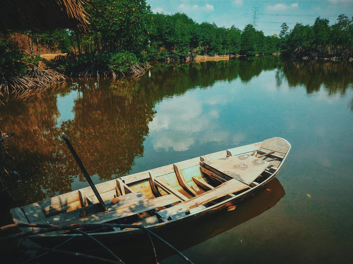
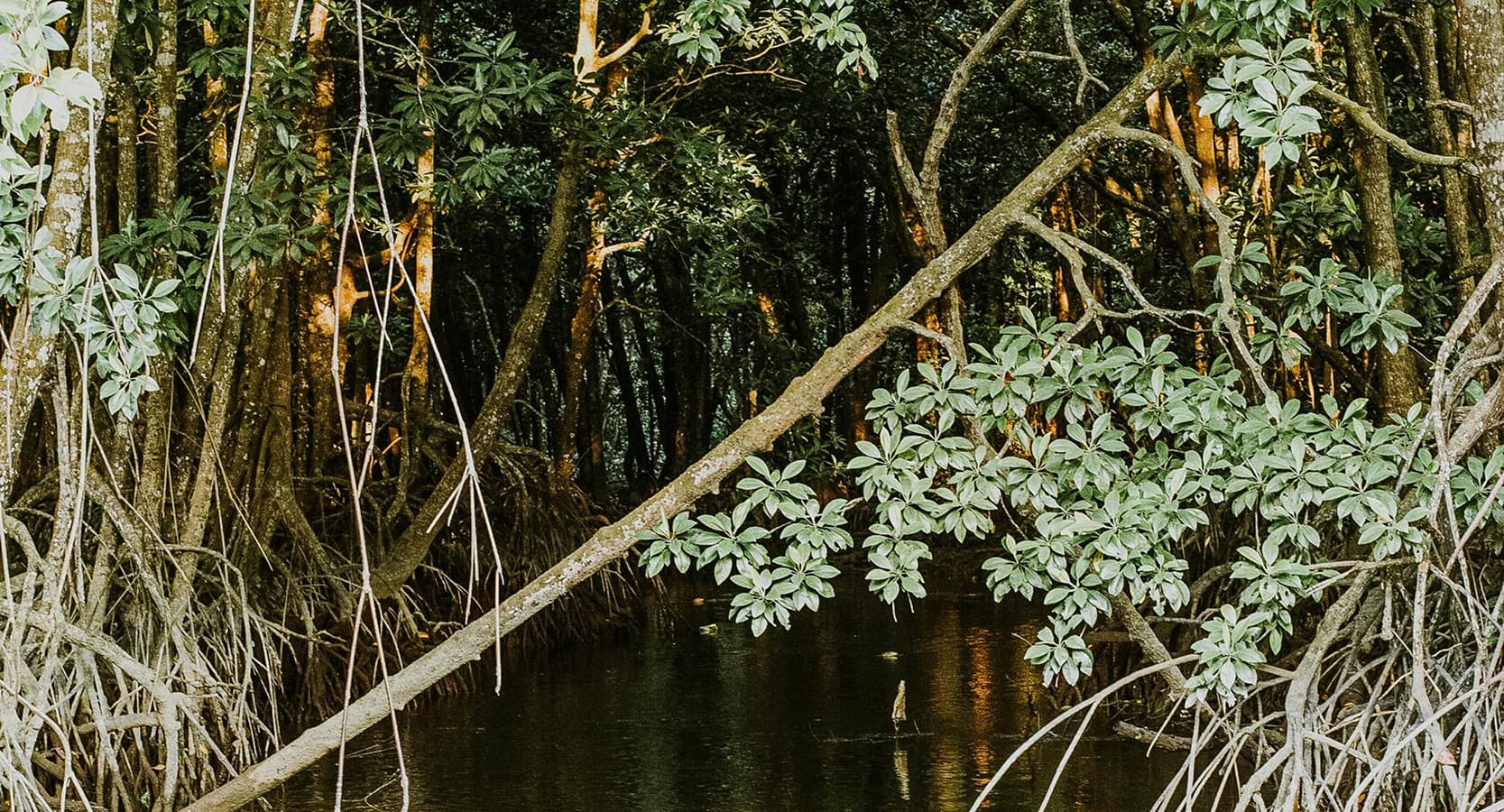
Spatial Mangrove Data
We provide GIS-powered spatial data to visualize mangrove coverage, identify degradation zones, and inform effective restoration planning across coastal regions.
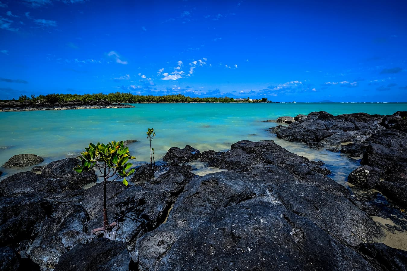
Transparent Donations
Our platform ensures transparent, location-based donations and mangrove adoptions, complete with updates and reports on growth and impact.
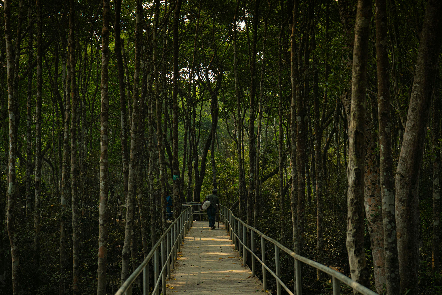
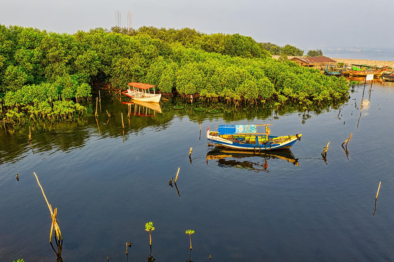
Eco-Educational Tourism
We promote eco-educational tours led by trained local groups (Pokdarwis), combining conservation learning with economic opportunities for coastal communities.
Local Heroes
We spotlight and support coastal guardians—community leaders, volunteers, and traditional figures—who work tirelessly to protect Indonesia’s mangrove ecosystems.
Meet Our Guardians
Behind every healthy coastline are the silent heroes—local stewards, fishermen, mothers, and young people. We call them, The Mangrove Coast Guards.
See More Stories
Honey Alya
— Chair of Eko Wisata Mangrove Sigar Penjalin
Leads immersive mangrove ecotourism while inspiring the next generation.


One Platform to Learn, Contribute, and Explore
Indonesian Mangrove System.
A unified platform for accessing interactive maps, virtual tours, and mangrove adoption programs. This digital solution addresses the lack of information, participation, and access to mangrove conservation, enabling anyone to get involved from anywhere.
Book a Tour Now
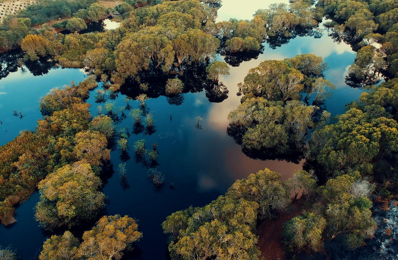
Explore Mangrove Zones
This feature presents a GIS-based map showing the location of mangrove forests throughout Indonesia, their density, and priority restoration areas. The problems it addresses are the spatial data gap and the lack of transparency in accessing information on mangrove conditions. Its uniqueness lies in real-time mapping and the integration of cross-institutional conservation data that is easily accessible to public.
Stories & Reports from Our Shorelines
Frequently Asked Questions, Everything You Need to Know About Mangrove Conservation.
Find answers to common questions about our project and platform. We’re committed to providing transparent information and exceptional support—because Mangrove Coast Guard is your trusted space for collaboration, action, and learning.